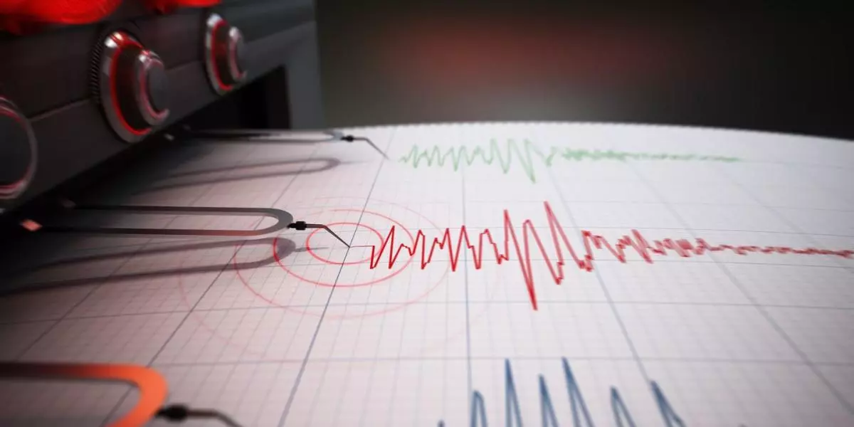
A magnitude 6.7 earthquake struck northern Vanuatu on Wednesday, the United States Geological Survey said, with authorities warning that “small tsunami waves” had been picked up by ocean monitoring equipment.
The quake had a depth of 22 kilometers (14 miles), hitting about 300 km north of the capital Port Vila at around 3:37 pm (0447 GMT).
Centered near a sparsely populated cluster of islands, the USGS said there was a “low likelihood of casualties and damage” from the tremor.
The Pacific Tsunami Warning Centre said people living in coastal Vanuatu areas near the quake’s epicenter “should be observant and exercise normal caution”.
“Otherwise no action is required,” the center said.
Vanuatu’s Meteorology and Geohazards Department warned residents in the northern provinces of Panama, Torba, Malampa, and Sanma to take “precautionary measures” such as moving from the coast to higher ground.
A hotel receptionist in Port Olry, some 98 km from the epicenter, told AFP she felt a “little earthquake” and “saw the ground shaking” but was not aware of any damage.
Earthquakes are common in Vanuatu, a low-lying archipelago of 320,000 people that straddles the seismic Ring of Fire.
The Ring of Fire is an arc of intense tectonic activity that stretches through Southeast Asia and across the Pacific basin.
At least seven people were killed in April this year when a 7.0-magnitude quake hit a jungle-clad area in Papua New Guinea.


