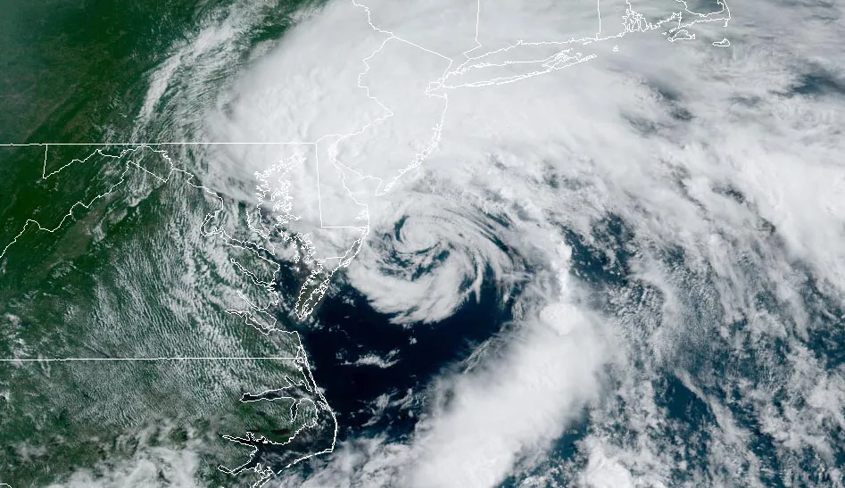
Tropical Storm Harold has recently hit the southeastern coast of Texas, unleashing heavy rainfall and formidable winds across the southern United States. This development has prompted multiple alerts for flash floods and tornadoes, which are expected to persist well into the afternoon.
Officials from the National Weather Service (NWS) have predicted a rapid influx of rainfall, ranging from 1 to 3 inches (2.5-7.6 cm) in some regions within the span of an hour. This surge in precipitation follows closely after a historic wave of rain that inundated parts of the southwestern United States just a day prior.
In California and Nevada, residents are currently grappling with the aftermath of Storm Hilary, which brought an unprecedented amount of rain. The impact included widespread flooding, dangerous mudflows, power outages due to downed lines, and numerous vehicles becoming trapped in the deluge.
Amidst these ongoing weather events, the NWS is also closely monitoring the progression of two additional tropical storms, both headed towards the western United States.
Tropical Storm Harold made landfall around 10:00 AM local time (16:00 BST) on Padre Island in the Gulf of Mexico, situated off the coast of Texas. The storm’s influence prompted the issuance of tropical storm warnings spanning from the Rio Grande river, along Texas’ southern boundary, to approximately 250 miles (400 km) north to the community of Port O’ Connor.
The tropical storm warnings have affected over a million residents in Texas, with the NWS advising caution due to the potential for sporadic flash flooding. Wind speeds have peaked at around 50 mph (80 km/h), leading to the issuance of a tornado warning for counties in the south-central Texas region. Authorities have urged individuals in these areas to remain indoors to avoid the danger posed by flying debris.
As the day progressed, certain counties in southeastern Texas experienced rainfall ranging from 2 to 4 inches. Forecasts suggest that isolated areas could see up to 6 inches of rainfall. There remains a distinct possibility of several tornadoes forming across southern Texas throughout the afternoon.
Tropical Storm Harold is expected to continue to bring rain, wind, and possibly hail further inland as it traverses the hot and arid Texan landscape.
While grappling with these intense weather conditions, meteorological experts have sounded an additional alarm about another approaching tropical storm: Tropical Storm Franklin. This storm is currently located around 230 miles east of the coast of the Dominican Republic. Predictions indicate that Franklin could bring substantial rainfall, up to 6 inches, to Puerto Rico, starting from Wednesday.
While the precise impact of climate change on the frequency and intensity of such storms remains an area of ongoing research, it is recognized that rising sea surface temperatures contribute to warmer atmospheric conditions, providing more energy to fuel hurricanes, cyclones, and typhoons. Consequently, these weather phenomena are likely to intensify, leading to more severe and sustained rainfall.
The Earth has experienced a temperature increase of approximately 1.1°C since the start of the industrial era. This trend is projected to persist unless global governments significantly reduce greenhouse gas emissions, thereby curbing the factors contributing to climate change.


